Drone mapping and surveying is an aerial photogrammetry method with outstanding features such as flexibility, efficiency, precision, low operation cost, short operation cycle, and wide application range. It has obvious advantages in quickly obtaining high-resolution images when working in small areas and complex terrain.
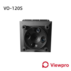
Mapping and surveying drones can carry a variety of remote sensing equipment to acquire information, such as high-resolution digital cameras, laser scanners/LiDar, light optical cameras, etc., the acquired image is processed through corresponding software, and it can produced according to certain accuracy requirements.
With the improvement of drone and the update of mapping and surveying camera technology, drone mapping and surveying have rapidly developed in the market and widely used in GIS applications such as land resource development, digital urbanization construction, disaster surveying, forestry resource planning and other fields.

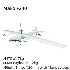
Viewpro provides various drone solutions for different flight time requirements for Mapping & Surveying applications.
Solution 1: Cruising range 320-480km, flight time 4-6hrs
Airplane&VTOL:
Payload:
RC / Ground Control Station:
Battery&Charger:22Ah、25Ah、27Ah、30Ah,PC1080Charger
Solution 2: Cruising range 160~320km, flight time 2~4hrs
Airplane&VTOL:
Payload:
RC / Ground Control Station:

Battery&Charger:22Ah、25Ah、27Ah、30Ah,PC1080Charger
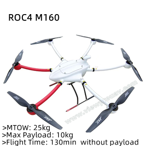
Solution 3: Cruising range 36~72km, flight time 1~2hrs
Airplane&Rotary:
RC / Ground Control Station:
Battery&Charger:22Ah、25Ah、27Ah、30Ah,PC1080Charger
Solution 4: Cruising range < 36km, flight time 1hrs
Airplane&Rotary:


